[00] IntroLaser-ready SVG
Real places. Cut in layers.
Cities, lakes, coasts, mountains and countries, turned into stacked sheets for your laser cutter from real map, depth and elevation data.
Choose a place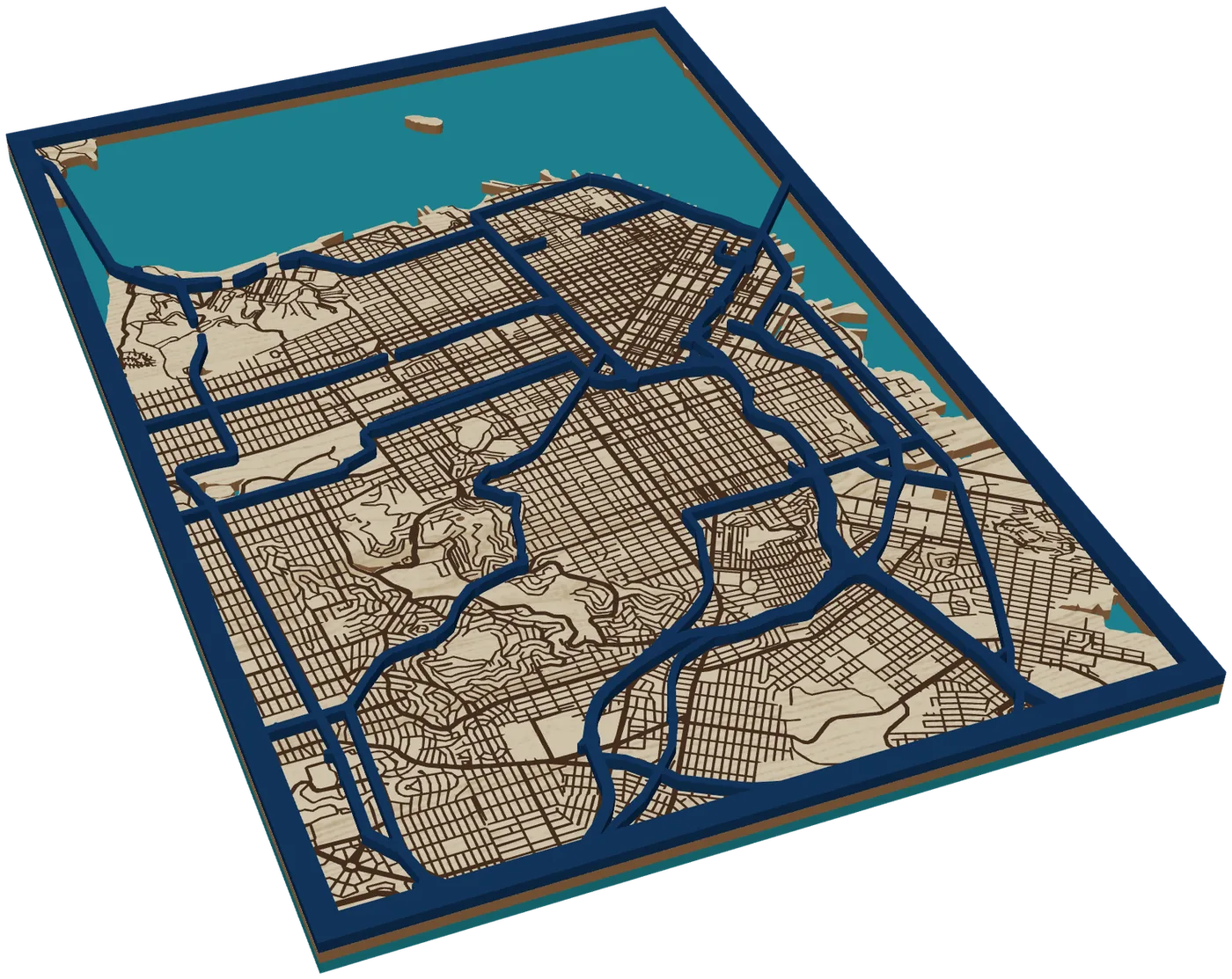
San Francisco200 × 300 mm3 sheets
- Free to design and download
- LightBurn · xTool · Glowforge
- One SVG per sheet
[01] The problem
By hand, every layer is traced.
- Contours drawn one by one from survey charts.
- Each sheet matched by eye to the one below.
- Slivers too thin to cut, crumbs too small to glue.
- A kerf that throws every fit off.
[02] The journey
Pick. Shape.
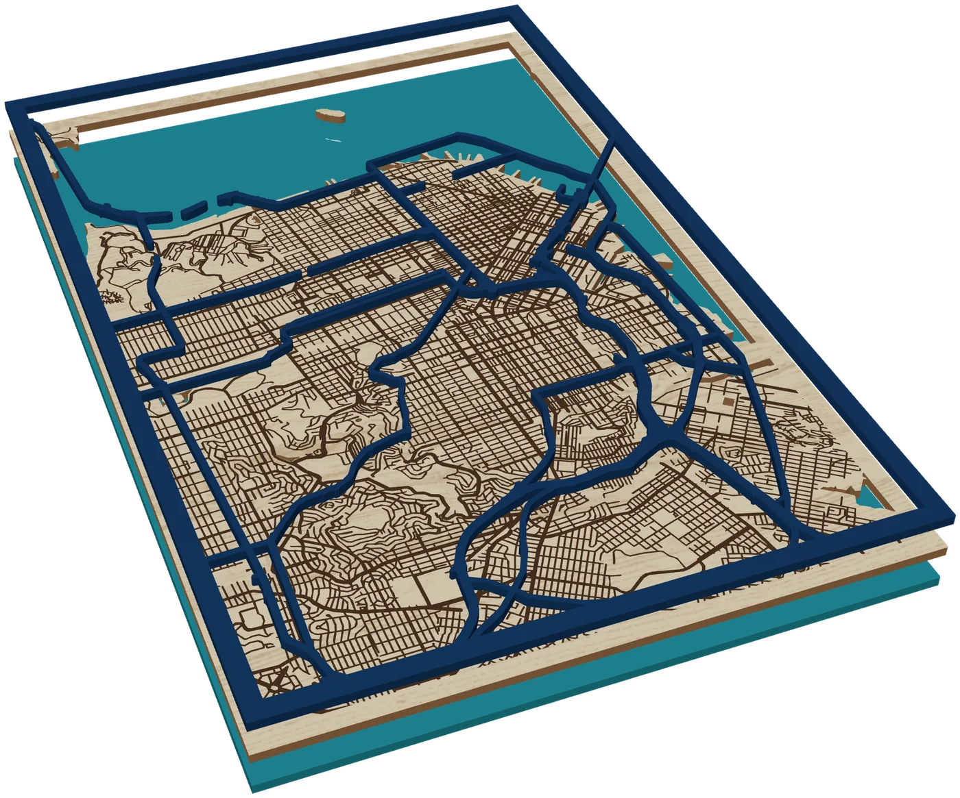
Stack.
- 1 Pick a place
- 2 Frame and layers
- 3 Download and cut
Maps
Any city or island. Water, land and raised roads.
Make a map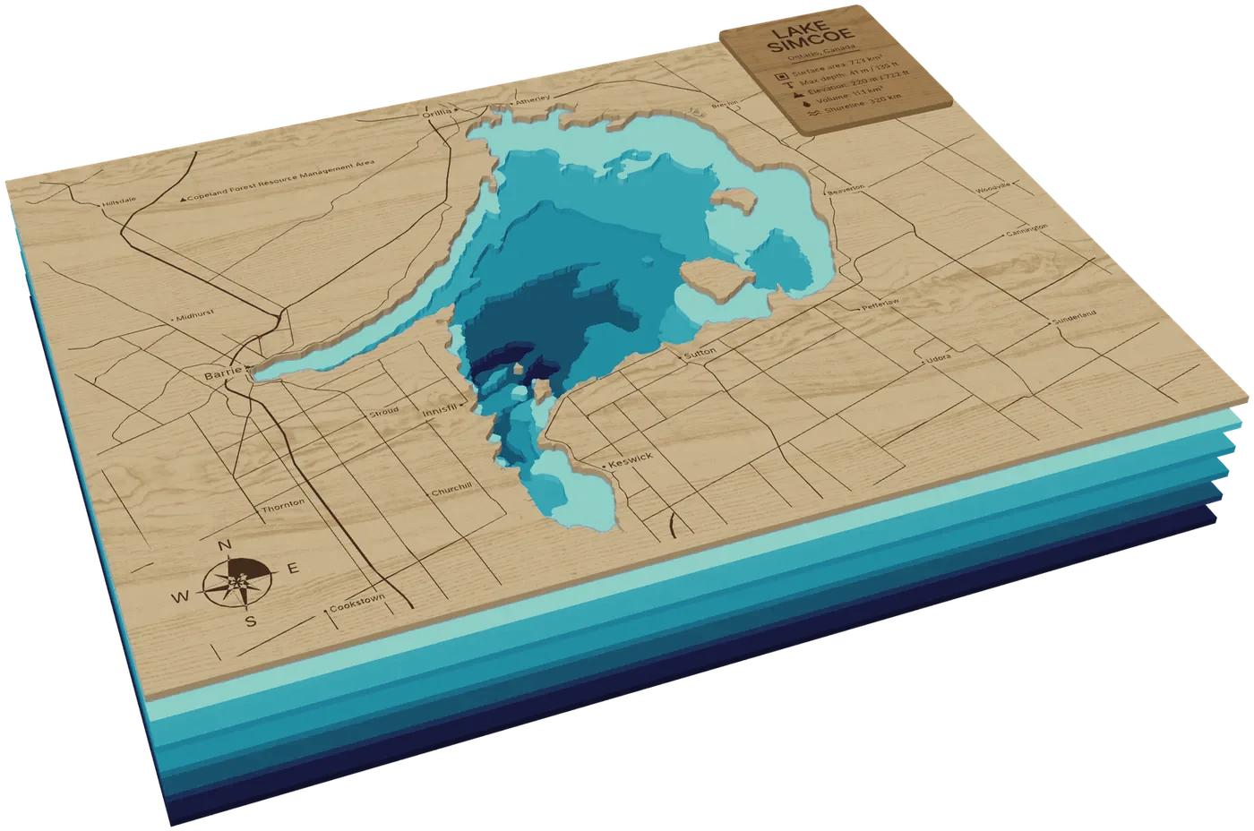
Lakes
12,000+ surveyed lakes. Up to 16 depth layers.
Make a lake map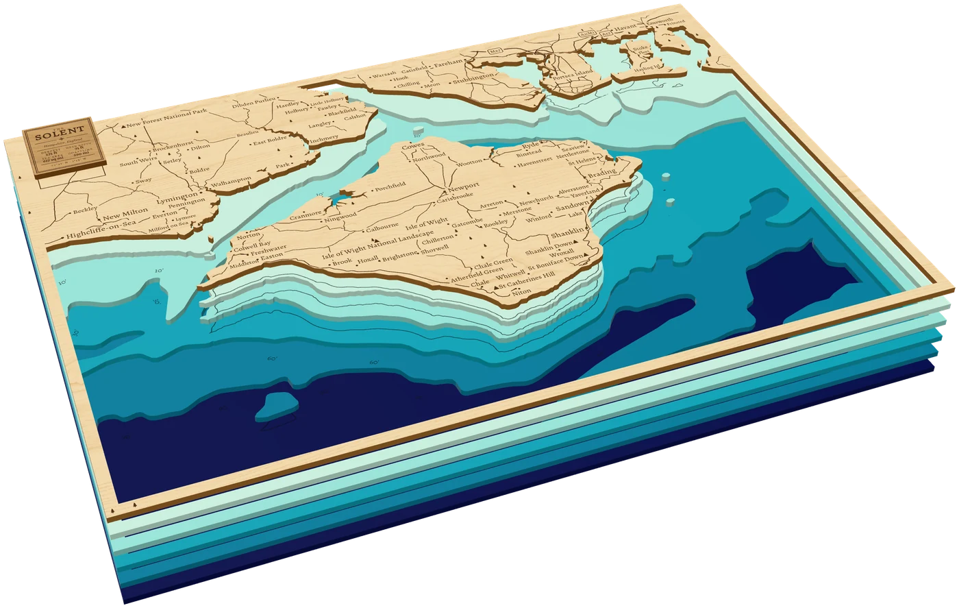
Coasts
Harbours to whole seas. The sea floor at chart depths.
Make a coast map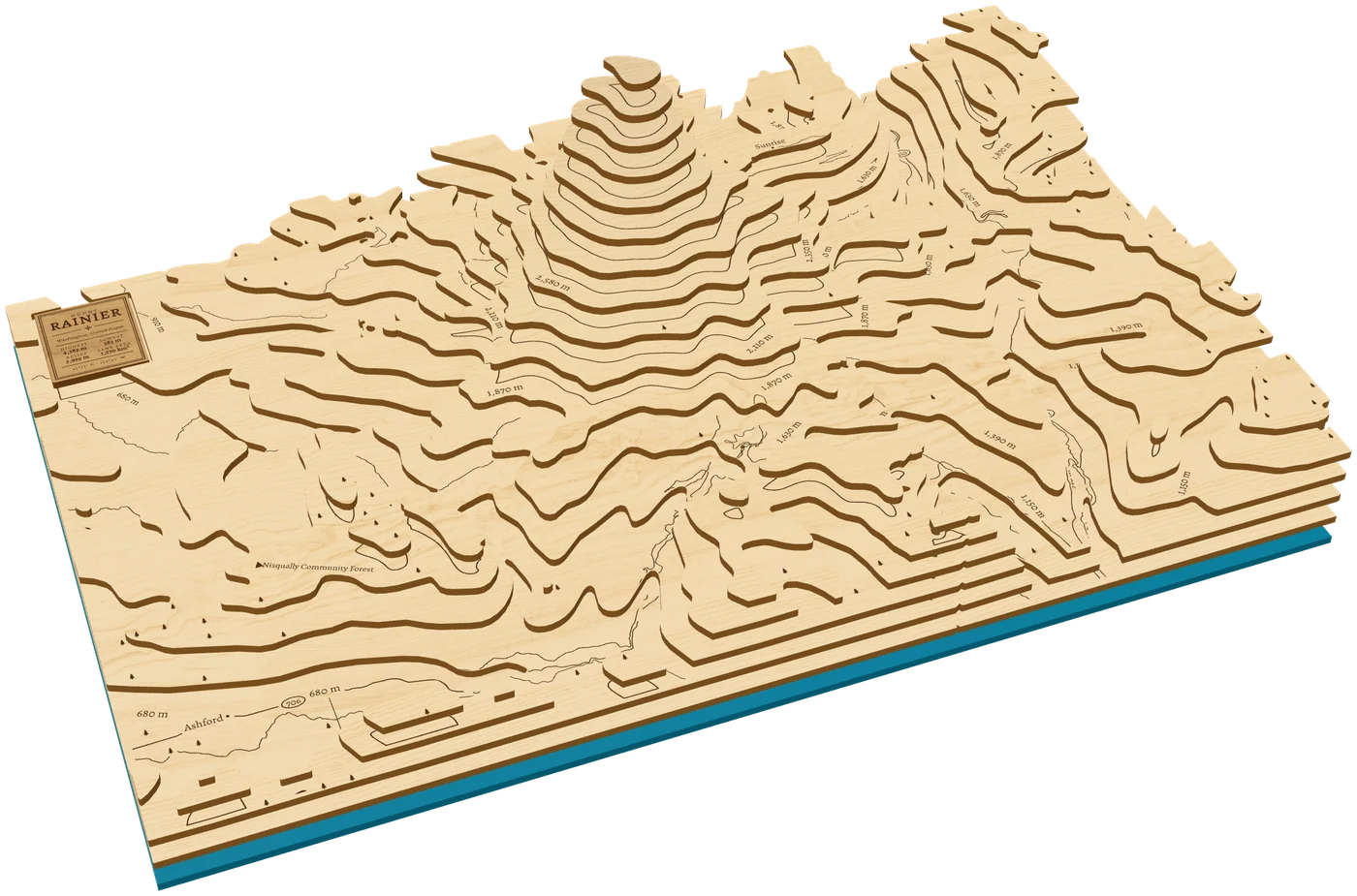
Terrain
Peaks, ranges and valleys, stepped by height.
Make a terrain map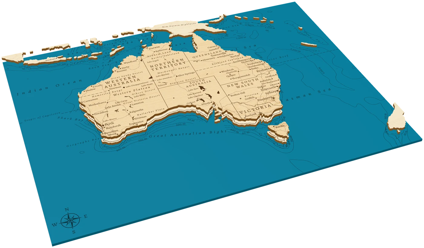
Countries
Engraved like an atlas, far-off parts in insets.
Make a country map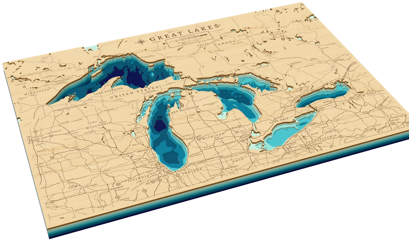
Charts
The Great Lakes and Great Salt Lake, ready-made. Up to ten depth layers.
Make the Great Lakes[03] The files
One SVG per sheet.
Rim to rim.
Sized for the bed
One SVG per sheet in millimetres, every sheet with the same frame and rim.
Cut and engrave
Red hairlines cut, black fills engrave. Opens in LightBurn, xTool and Glowforge.
Kerf offset
Set your beam width and every cut is offset, so pieces fit as drawn.
Uncuttable slivers
Slivers and crumbs smaller than your smallest detail are cleaned up.
Data: OpenStreetMap / lake depth surveys / GEBCO / EMODnet / GMRT / Copernicus DEM
Where will you
cut first?
Free to design, preview and download.
Start designing